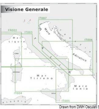
Showing 33–61 of 61 results
-
-
-
-
-
-
-
-
-
-
-
-
-
-
-
-
-
-
-
-
-
-
-
-
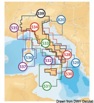
Navionics Maps Navionics + empty SD /Micro SD XL9 nautical chart
290,00 €Navionics Platinum:multi-dimensional Navionics mapping with 3D visualisation – satellite and aerial pictures – panoramic harbour pictures – harbour services and points of interest – dynamic tide iconsNavionics Gold:exceptional detail – bathymetric lines – harbour plans – currents and tides – services – excellent coverage. Navionics +: exceptional detail – bathymetric lines – SonarChart™ – Auto-routing…
-
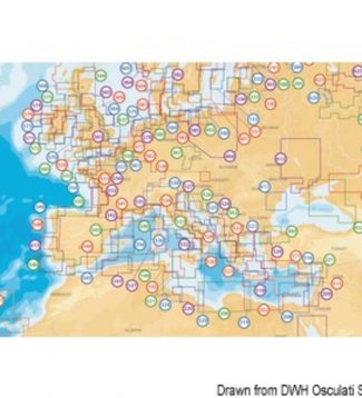
Navionics Maps Navionics + Small nautical chart
190,00 €Navionics Platinum:multi-dimensional Navionics mapping with 3D visualisation – satellite and aerial pictures – panoramic harbour pictures – harbour services and points of interest – dynamic tide iconsNavionics Gold:exceptional detail – bathymetric lines – harbour plans – currents and tides – services – excellent coverage. Navionics +: exceptional detail – bathymetric lines – SonarChart™ – Auto-routing…
-
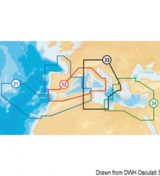
Navionics Maps Navionics + XL9-CF nautical chart
360,00 €Navionics Platinum:multi-dimensional Navionics mapping with 3D visualisation – satellite and aerial pictures – panoramic harbour pictures – harbour services and points of interest – dynamic tide iconsNavionics Gold:exceptional detail – bathymetric lines – harbour plans – currents and tides – services – excellent coverage. Navionics +: exceptional detail – bathymetric lines – SonarChart™ – Auto-routing…
-
Navionics Maps Navionics Platinum SD/Micro SD XL3 nautical chart
430,00 €Navionics Platinum:multi-dimensional Navionics mapping with 3D visualisation – satellite and aerial pictures – panoramic harbour pictures – harbour services and points of interest – dynamic tide iconsNavionics Gold:exceptional detail – bathymetric lines – harbour plans – currents and tides – services – excellent coverage. Navionics +: exceptional detail – bathymetric lines – SonarChart™ – Auto-routing…
-
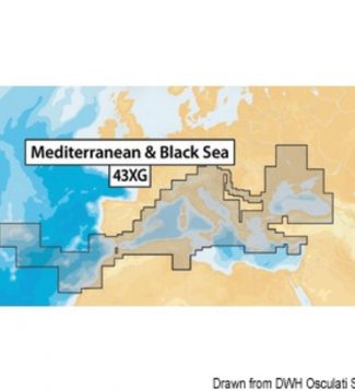
Navionics Maps Navionics XL9-43XG nautical chart Mediterranean, Black Sea, Canaries and Azores
290,00 €Navionics Platinum:multi-dimensional Navionics mapping with 3D visualisation – satellite and aerial pictures – panoramic harbour pictures – harbour services and points of interest – dynamic tide iconsNavionics Gold:exceptional detail – bathymetric lines – harbour plans – currents and tides – services – excellent coverage. Navionics +: exceptional detail – bathymetric lines – SonarChart™ – Auto-routing…
-
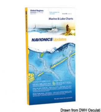
Navionics Updates Navionics Updates
150,00 €It is the most convenient product devoted to continuously enhancing your old cartography and getting the most up-to-date Navionics+ (one-year update program included). This online upgrade service to Navionics+ is compatible with Navionics (Gold or Silver but not Platinum+) as well as cards from other brands such as C-MAP, Fishing Hot Spots, Garmin, LakeMaster, Lowrance,…
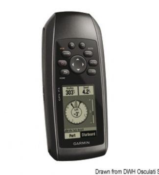 Garmin Gps 73 Portable Gps GARMIN GPS 73 portable GPS
 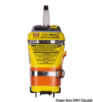 Gme Manual Release Epirb Manual release EPIRB