Navionics Maps Navionics + XL9-CF nautical chart
360,00 €
- Satisfaction Guaranteed
- No Hassle Refunds
- Secure Payments
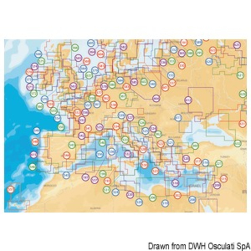
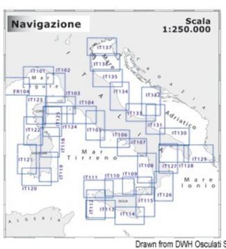
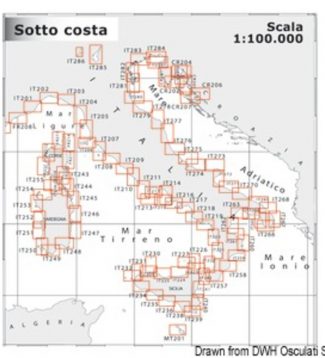
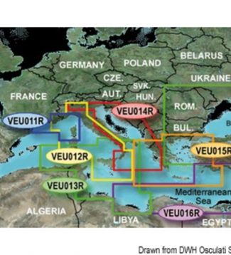
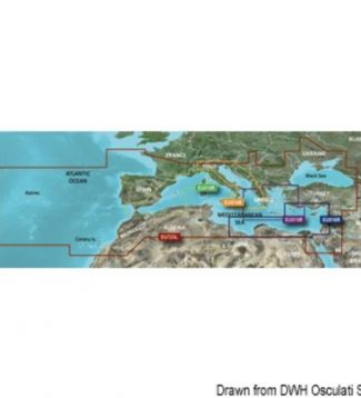
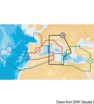
Navionics Platinum:multi-dimensional Navionics mapping with 3D visualisation – satellite and aerial pictures – panoramic harbour pictures – harbour services and points of interest – dynamic tide iconsNavionics Gold:exceptional detail – bathymetric lines – harbour plans – currents and tides – services – excellent coverage. Navionics +: exceptional detail – bathymetric lines – SonarChart™ – Auto-routing – Plotter Sync – harbour plans – currents and tides – services – excellent coverage. Chose between 29.080.08 (Mediterranean Sea areas, Black Sea, Canary Islands and Azores) and 29.080.11 (empty). This latter can be downloaded by the final user with one of the XL9 Navionics + areas from navionics.com.Navionics + Small:exceptional detail – bathymetric lines – SonarChart™ – Auto-routing – Plotter Sync – harbour plans – currents and tides – services. SD/Micro SD card sold empty: the user can download the desired Italian or European areas among those indicated here below from navionics.com. It is also possible to download the Mediterranean Sea maps or the map of similar areas paying the difference on navionics.com.


 Lewmar Spare Anodes For Thrusters LEWMAR spare anode for 250/300TT
  Osculati Bow Angular Joint Bow angular joint
 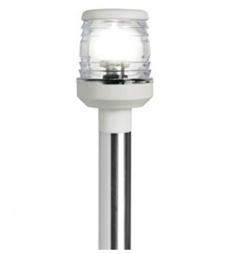 Osculati Classic 360° Folding Pole SS folding light pole white plastic light 60 cm
 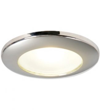 Osculati Syntesis Led Ceiling Light For Recess Mounting Syntesis LED ceiling light for recess mounting
 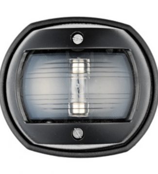 Osculati Compact 12 Navigation Lights Sphera black/white stern navigation light
 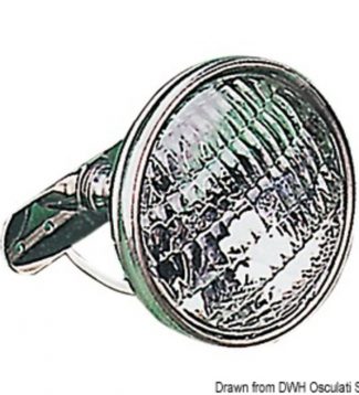 Osculati Crosstree Light Made Of Stainless Steefixed Model SS crosstree light w/ball-socket joint 24 V
 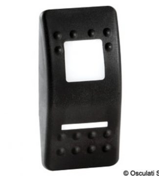 Osculati Rocker Switches With Backlit Icons For Marina R Ii Switches Rocker lighted symbols fMarina R Gangplank/cockpit
 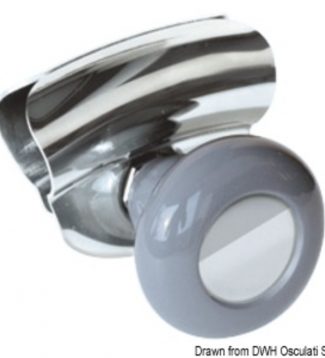 Osculati Hand Grip Hand grip grey
 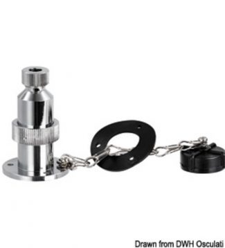 Osculati Watertight Plug Watertight plug 2-pole 20 A
  Osculati Classic 12 Navigation Lights Made Of Mirror-polished Aisi316 Stainless Steel Classic 12 AISI 316/112.5° green navigation light
 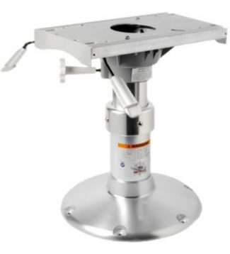 Osculati Pedestal With Seat Mount Pedestal w/seat mount telescopic 350/480 mm
 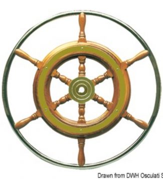 Osculati Classic Steering Wheel With Stainless Steel External Rim Steering wheel w/SS external rim 62 cm
 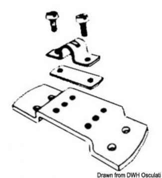 Ultraflex Cable Sheath Holder Cable sheath holder L3
 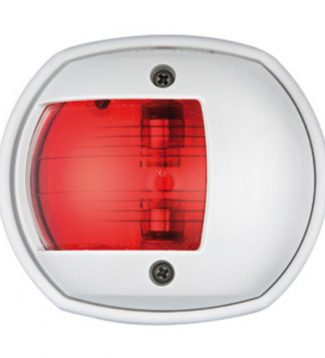 Osculati Compact 12 Navigation Lights Sphera white/112.5° red navigation light
 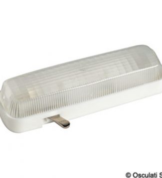 Osculati Cobo Spotlight Cobo spotlight 120 mm
 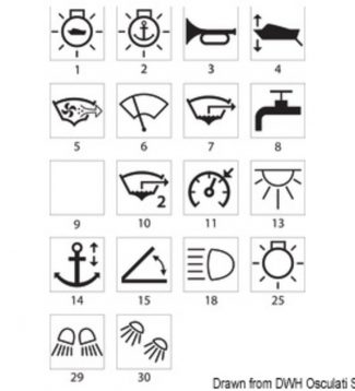 Osculati Laser-cut Symbols. Oval Toggles For Marina Top Switches With Symbol Lights Oval toggle f. Marina TOP switch Gangplank
 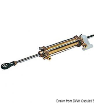 Cylinder For Vetus Steering System Cylinder for VETUS steering system MTC52
 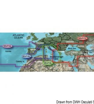 Garmin Bluechart G3 Charts Garmin Bluechart G3 Vision micro SD card large
  Osculati Classic Steering Wheel With Stainless Steel External Rim SS central cap
 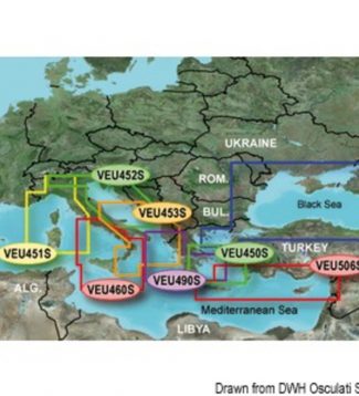 Garmin Bluechart G3 Charts Garmin Bluechart G3 Vision HD micro SD card small
 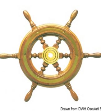 Osculati Classic Steering Wheels Steering wheel 52 cm
 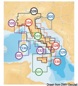 Navionics Maps Navionics + Small nautical chart
 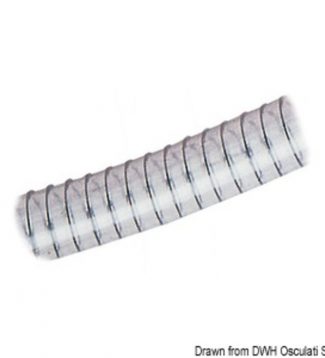 Osculati Traditional Spiral Hose For Plumbingpumpsetc Spiral reinforced hose 35 x 46 mm
 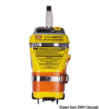 Gme Manual Release Epirb Manual release EPIRB