
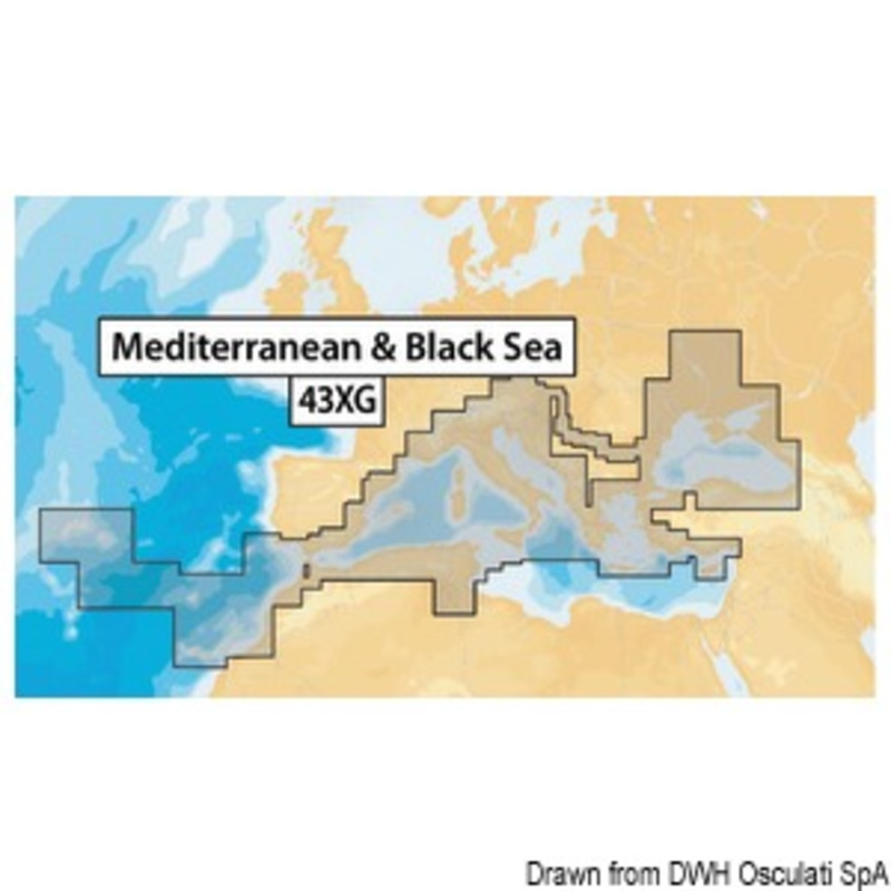
Navionics Maps Navionics XL9-43XG nautical chart Mediterranean, Black Sea, Canaries and Azores
290,00 €
- Satisfaction Guaranteed
- No Hassle Refunds
- Secure Payments
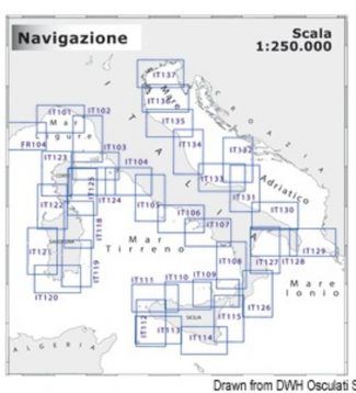
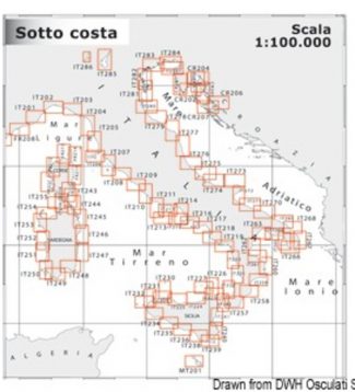
Navionics Platinum:multi-dimensional Navionics mapping with 3D visualisation – satellite and aerial pictures – panoramic harbour pictures – harbour services and points of interest – dynamic tide iconsNavionics Gold:exceptional detail – bathymetric lines – harbour plans – currents and tides – services – excellent coverage. Navionics +: exceptional detail – bathymetric lines – SonarChart™ – Auto-routing – Plotter Sync – harbour plans – currents and tides – services – excellent coverage. Chose between 29.080.08 (Mediterranean Sea areas, Black Sea, Canary Islands and Azores) and 29.080.11 (empty). This latter can be downloaded by the final user with one of the XL9 Navionics + areas from navionics.com.Navionics + Small:exceptional detail – bathymetric lines – SonarChart™ – Auto-routing – Plotter Sync – harbour plans – currents and tides – services. SD/Micro SD card sold empty: the user can download the desired Italian or European areas among those indicated here below from navionics.com. It is also possible to download the Mediterranean Sea maps or the map of similar areas paying the difference on navionics.com.
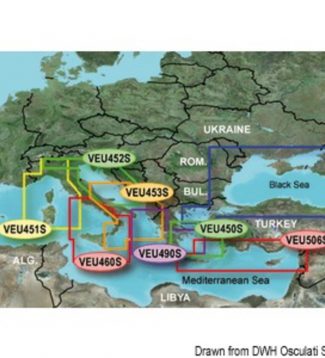
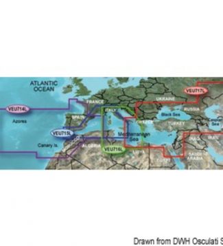 Garmin Bluechart G3 Charts Garmin Bluechart G3 Vision micro SD card large