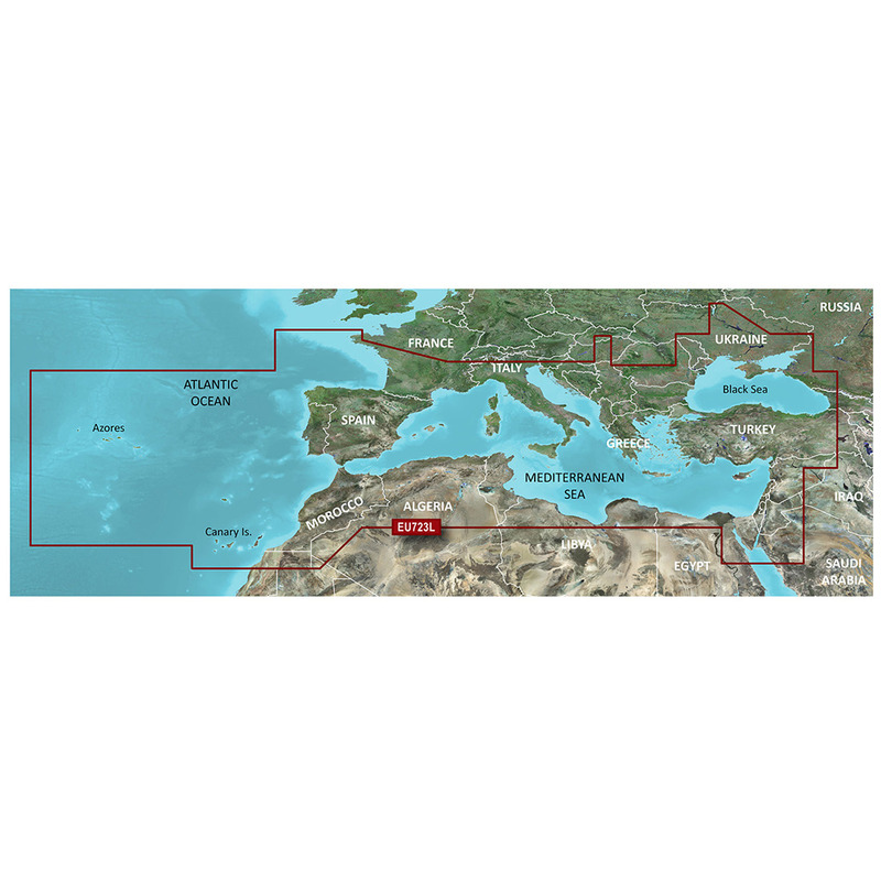
Garmin Cartografia Blurchart G3 Hd Vision LARGE EU723L MEDITERRANEAN SEA
- Satisfaction Guaranteed
- No Hassle Refunds
- Secure Payments
Auto Guidance 3.0 (*) automatically calculates the best route to reach the desired destination. Use the cartographic data to automatically process the best route to reach the set destination avoiding any obstacle along the navigation. Information on tides and currents indications on ports and services within the marinas.Bathymetric with detail every 30 cm for more precise images of the backdrop. Shading depth: This function allows you to display depth shading for up to 10 intervals chosen by the user assigning each one a different color to immediately display the depth. Specific functions for fishing: The Fishing Map extremely useful for fishermen provides high definition bathymetries that offer a much more accurate reconstruction of the seabed. (*) Auto Guidance must be used for planning purposes and does not replace safe navigation operations. Auto Guidance is not included in the BaseMap preloaded in the instruments. The tools must be perfectly configured.